Your workflows fully reproducible with #GRASSGIS and @nixos_org!
It is now possible to create a GRASS GIS development environment or run GRASS directly from the Git source code using the Nix package manager and system configuration tool!! 🤩 🚀
https://grass.osgeo.org/news/2024_06_07_nix_environment_and_package_added/
@osgeo @foss4g #OpenSource #OpenScience #reproducibleresearch
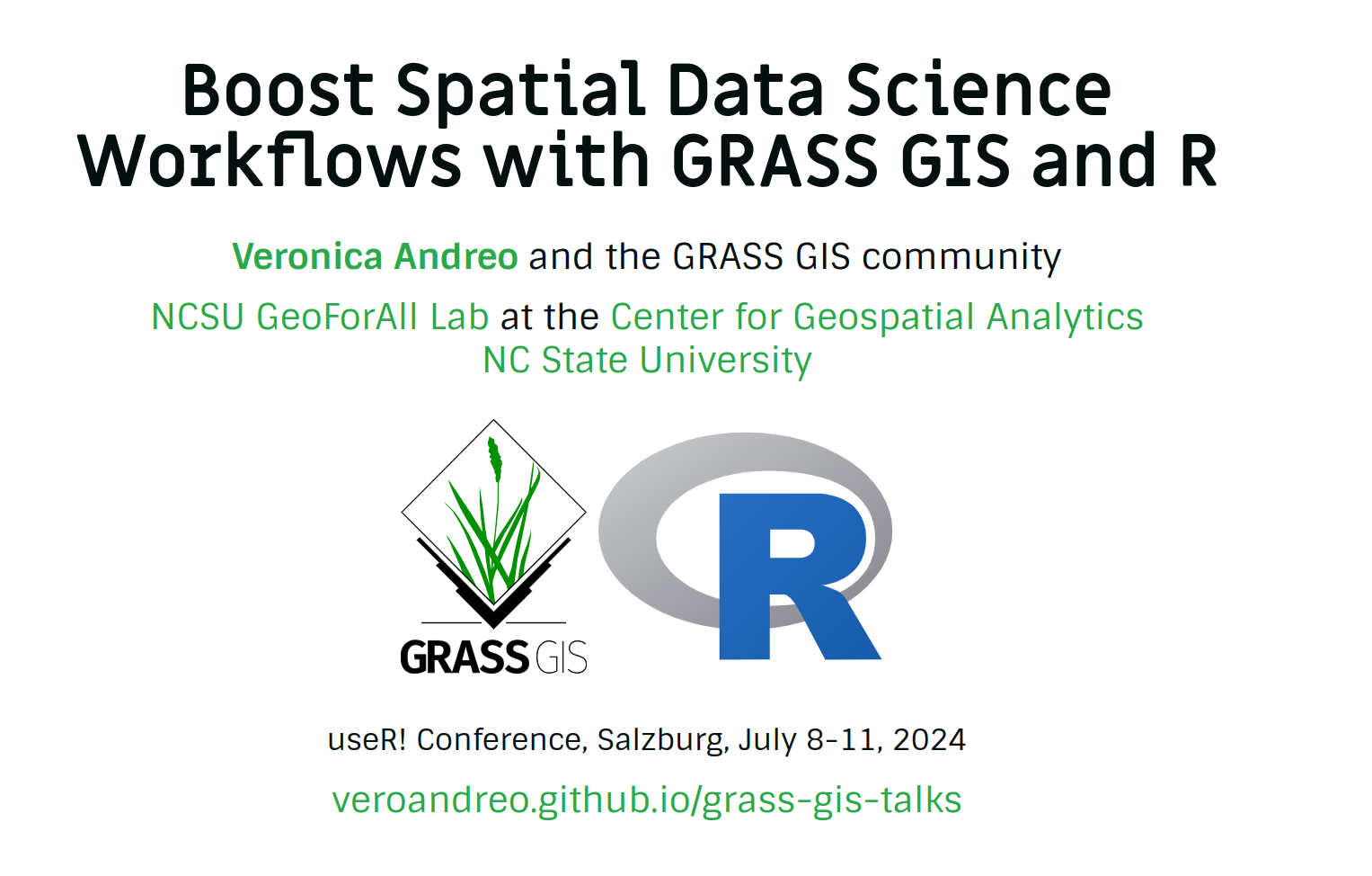
GRASS GIS will be present at #useR2024 tomorrow in Salzburg!!
Don't miss @VeronicaAndreo's talk on "Boosting #geospatial data science workflows with
@grassgis and #rstats" 🤓
https://userconf2024.sched.com/event/3fe94735bb6fd0dffea2971788062502
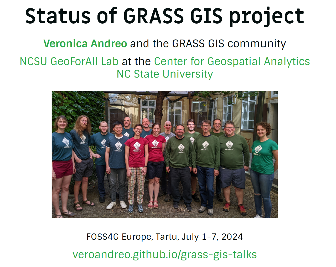
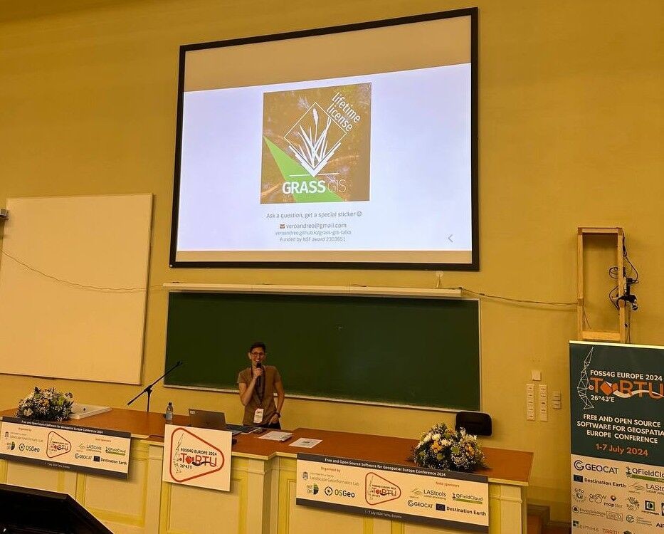
@VeronicaAndreo presenting the "State of #GRASSGIS" this morning at #foss4ge!
Exciting news and upcoming features: more machine learning tools, topology, mentoring, community growth, tutorials and more 🤩
https://veroandreo.github.io/grass-gis-talks/foss4gEU2024.html#/
GRASS GIS will be at FOSS4G Europe in Tartu, Estonia!! @foss4geurope
Workshop: https://talks.osgeo.org/foss4g-europe-2024-workshops/talk/PLYXKF/
Talk: https://talks.osgeo.org/foss4g-europe-2024/talk/LFQJG7/
Join us to explore the latest in #opensource #geospatial #software. See you there! 🌍✨
The #GRASSGIS 8.4.0 pre-release is here! Tons of new exciting features and fixes 🌏🌠
Give it a try and open an issue on GitHub if you find anything amiss!
#foss #EO #gischat #opensource #geospatial #mapping
👉 Download now: github.com/OSGeo/grass/releases/tag/8.4.0RC1
https://grass.osgeo.org/download
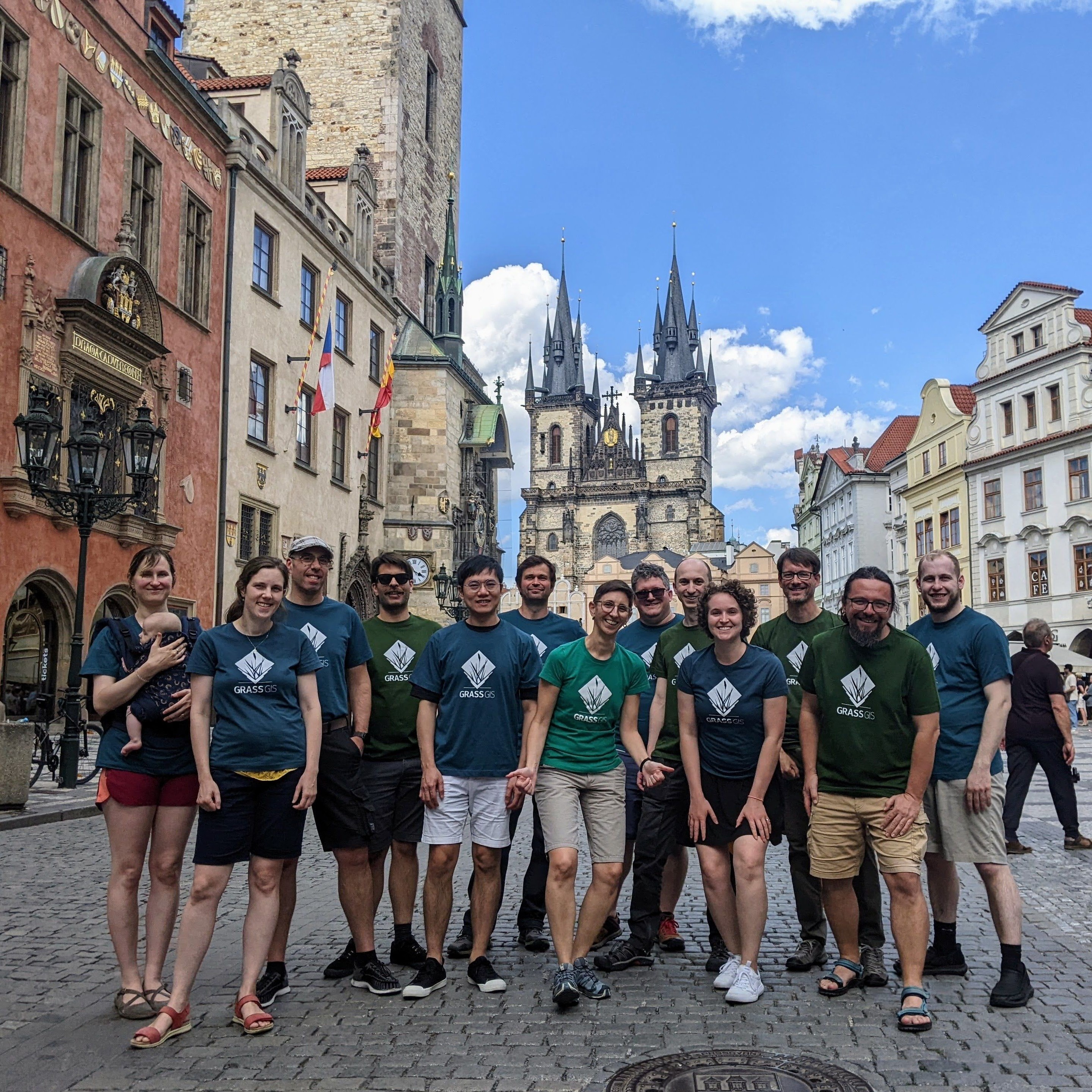
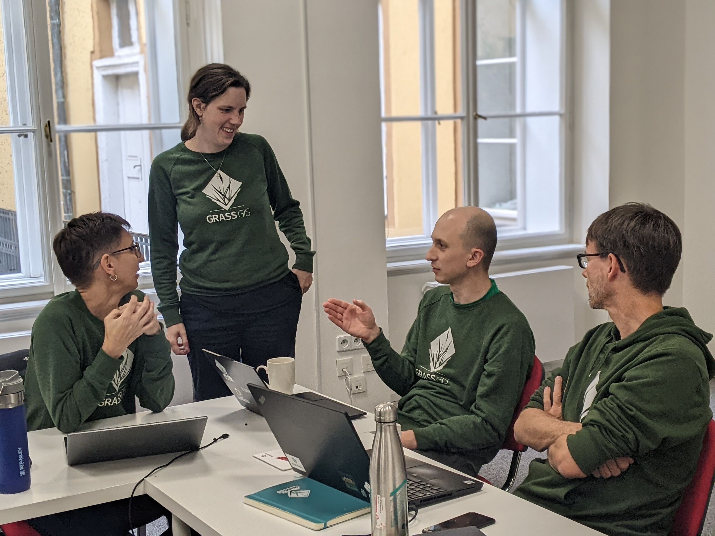
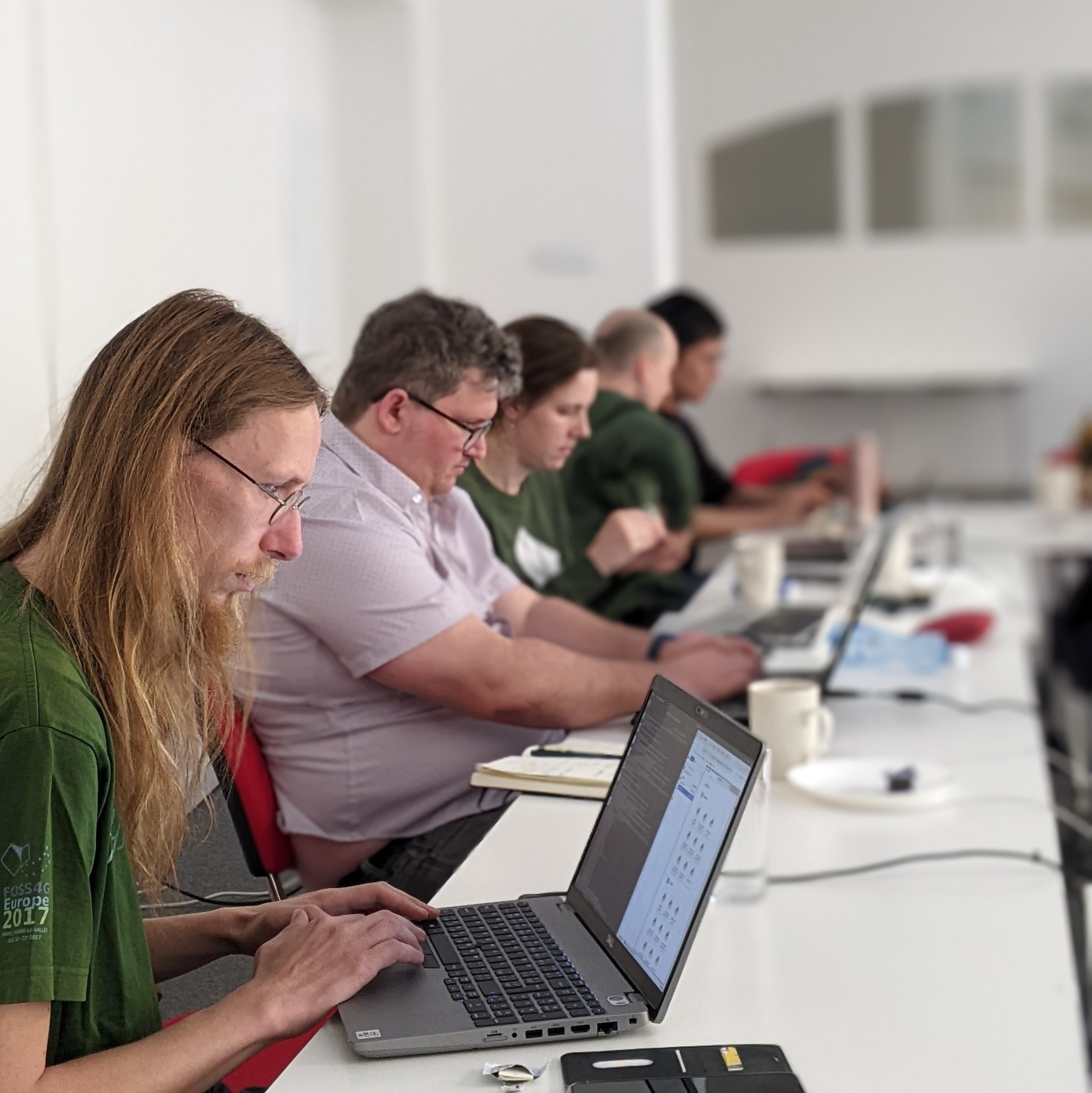
It’s the last day of the #GRASSGIS Community Meeting! #foss #geospatial #gischat
Lots of work, planning and community #bonding was accomplished this week thanks to our host @ncstateprague and our sponsors, @FOSSGISeV, @osgeo, and US NSF!
Thank you all who participated!
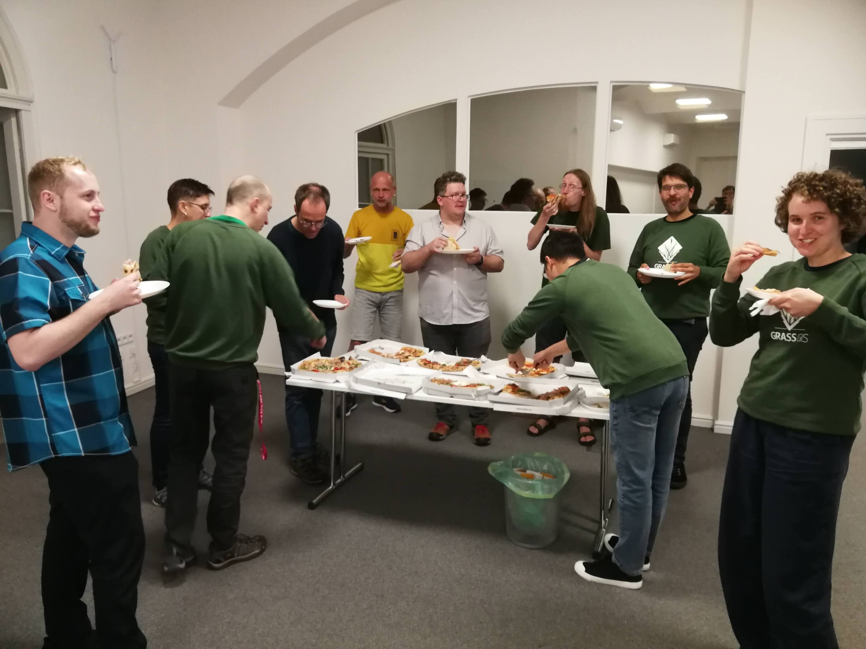
👩💻🍕 Fuel our code sprint at the #GRASSGIS Community Meeting with food! Just $10 can provide a meal that fuels a new feature or bug fix. Donate here: opencollective.com/osgeo/projects/grass 🍔💡
#CodeFuel #foss #qgis #growgrass
Thanks to our sponsors for making this gathering possible! US NSF @osgeo @FOSSGISeV
https://opencollective.com/osgeo/projects/grass
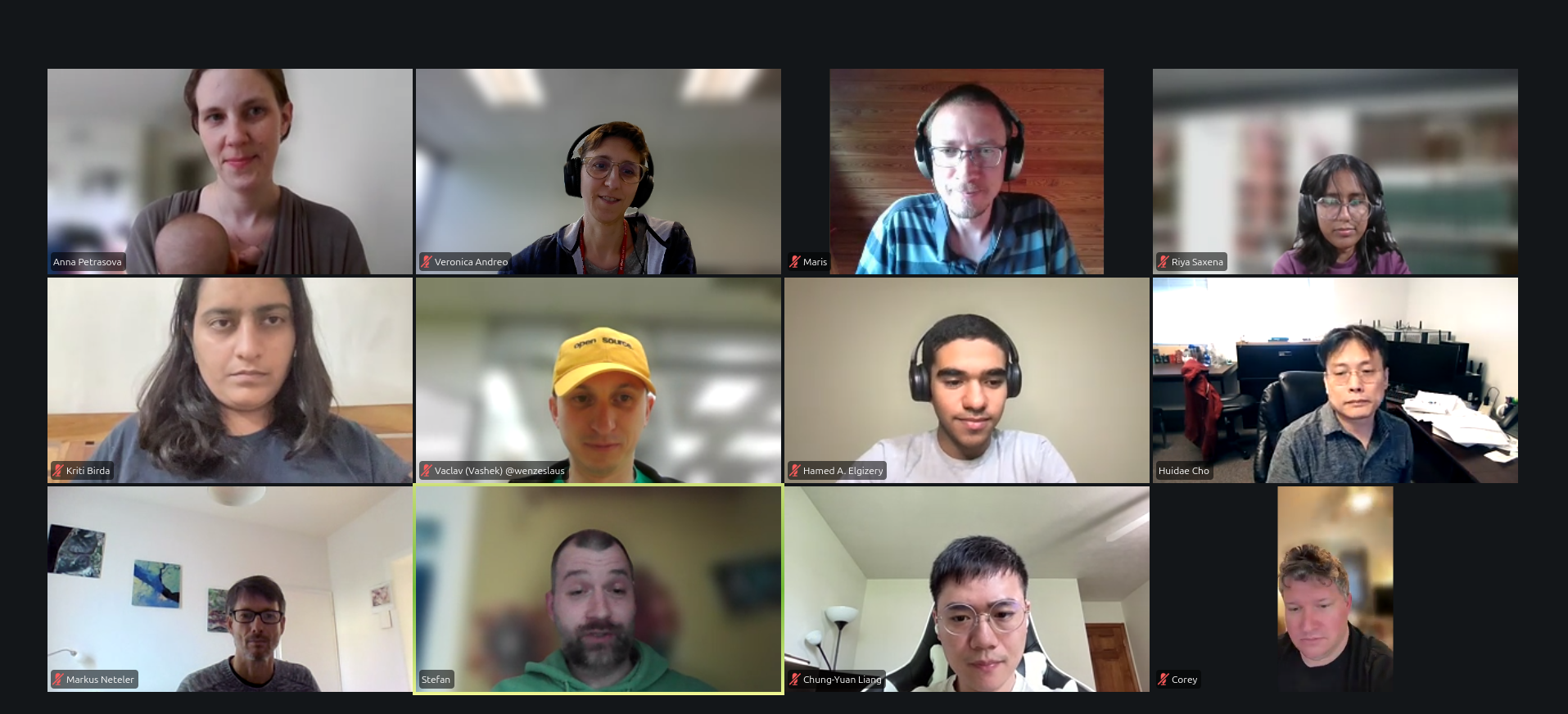
Tune in today at 2PM CET (UTC +2) to hear this year's #GSOC students discuss their #GRASSGIS projects!
There's support for #EODAG, new interactive features in GRASS #jupyternotebooks, and more #JSON tool outputs 👏 🧑💻
Tune in here:
Want to hear what this year’s #GRASSGIS’s Google #gsoc students are up to? 🧑💻 ⚡
Tune in Tuesday afternoon at 2PM CET (UTC +2) and hear their presentations:
https://app.gitter.im/#/room/#grassgis_sprint:gitter.im
Check out the list of projects here:
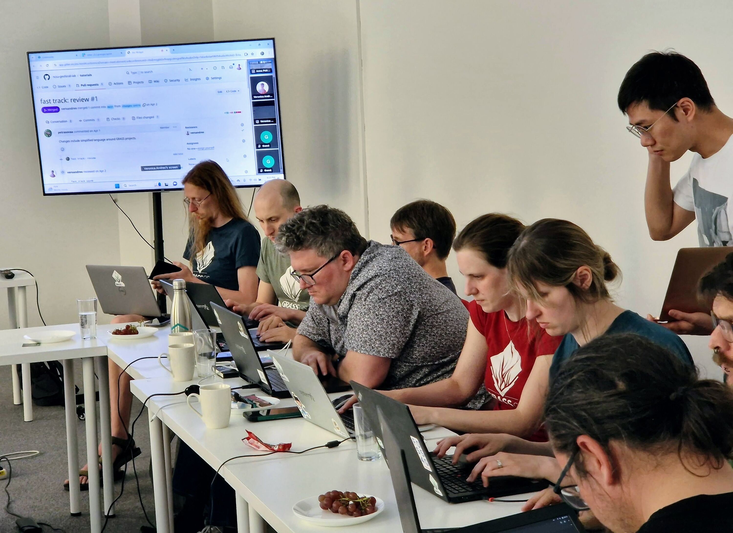
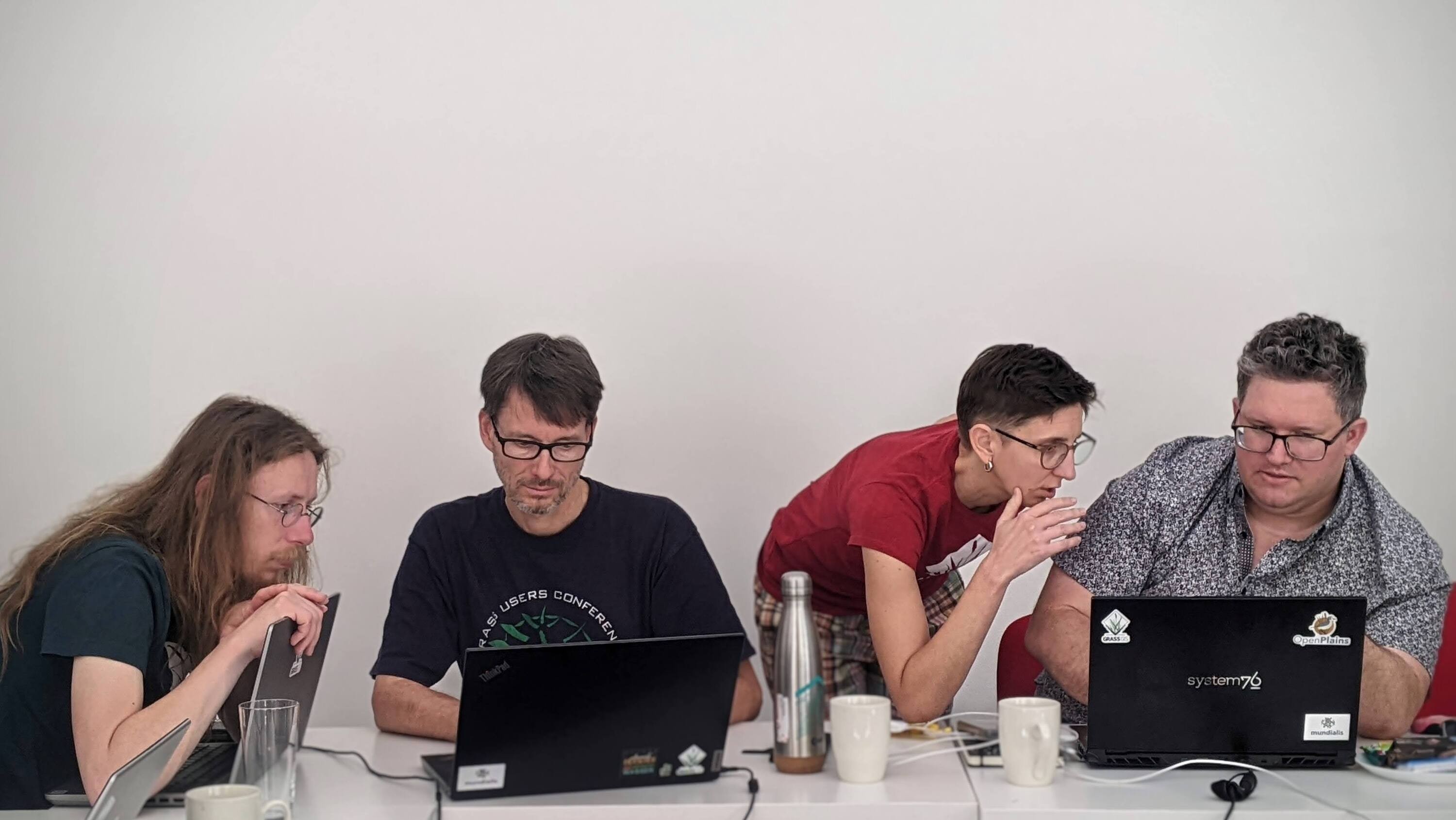
That’s a wrap on #day3 of the #GRASSGIS Community Meeting! Great #documentation discussion today 📖💡
We delved deep into improving manuals and tutorials, ensuring everyone can harness the full power of GRASS GIS 🌍🙌
Day 3 of the #GRASSGIS Community Meeting! This afternoon, we’re discussing all things #documentation 📖💡
Join at 2PM CET (UTC +2) on Gitter:
Thank you to our #sponsors @osgeo @FOSSGISeV NSF and individuals and anonymous sponsors for making this #GRASSGIS Community Meeting possible! It’s their generosity that makes #GRASSGIS shine 🚀 ⚡️🌐 #gis #foss
See the full list of sponsors: https://grasswiki.osgeo.org/wiki/GRASS_Community_Meeting_Prague_2024

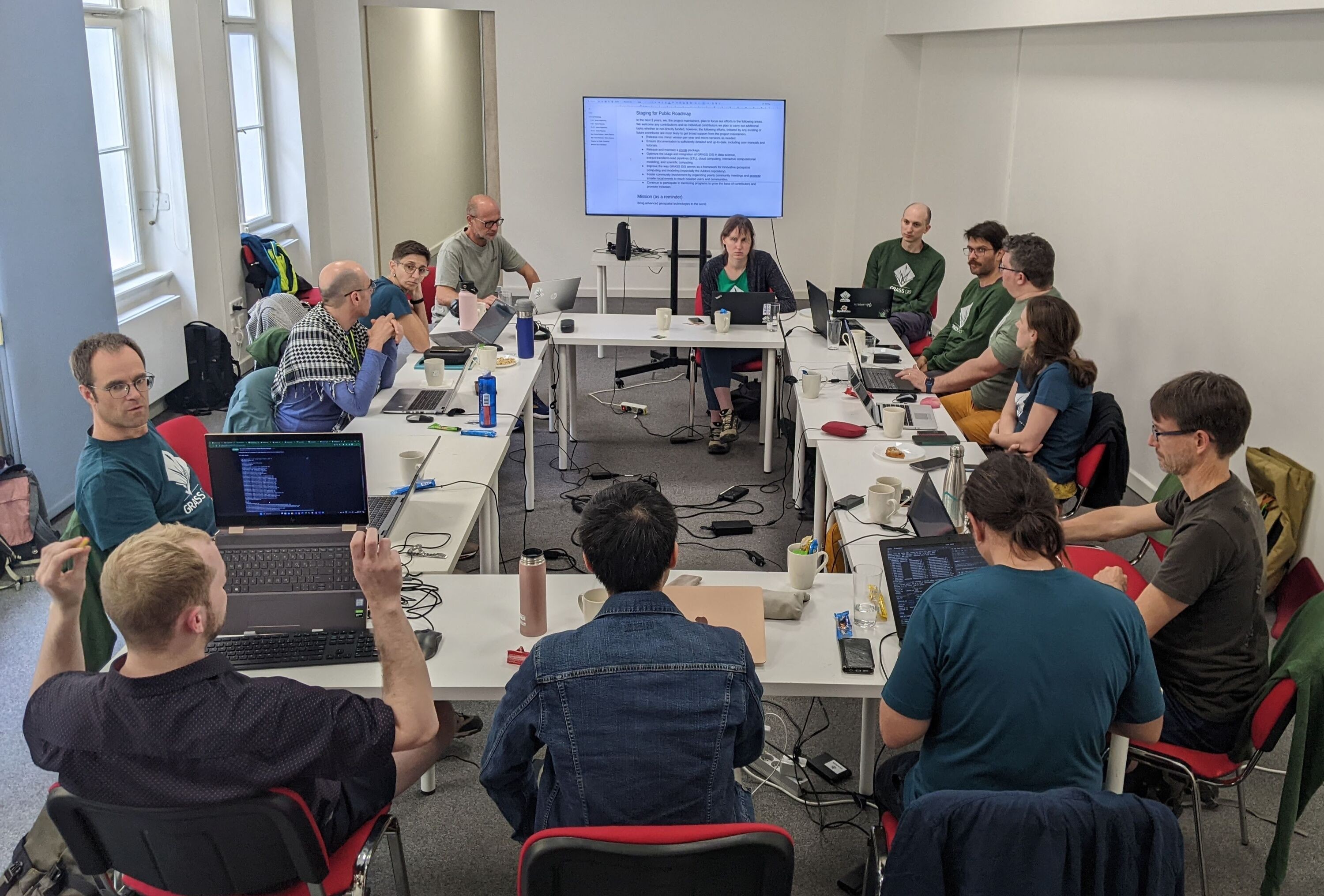
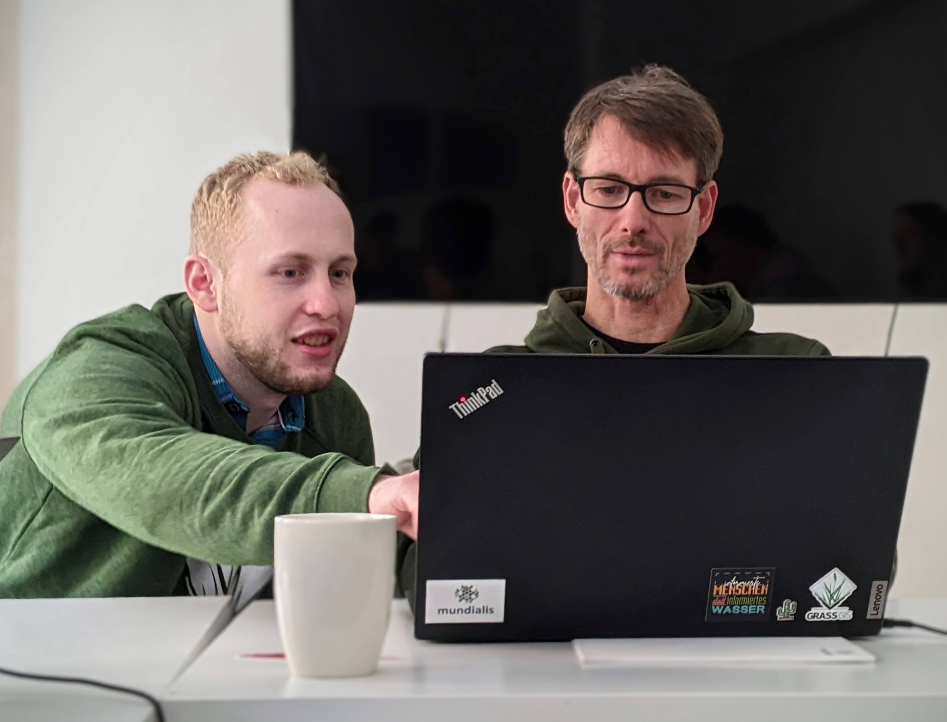
Day 2 of the #GRASSGIS Community Meeting in Prague! On today’s agenda: the #GRASSGIS project roadmap and #GRASSGIS on #WindowsOS 🧑💻🤓
Tune in on our Gitter channel! #gis #geospatial #CommunityDevelopment #foss
Coding and conversation at the #GRASSGIS Community Meeting. Check out the agenda on the Wiki page:
https://grasswiki.osgeo.org/wiki/GRASS_Community_Meeting_Prague_2024
A huge thank you to our #sponsors for making this possible @FOSSGISeV NSF, @osgeo
And we’re off! The 2024 GRASS GIS Community Meeting is underway at NC State Prague 🎉🧑💻Join the conversation on Gitter and stay tuned for more! #foss #gis #community
GRASS Meeting on Gitter: https://matrix.to/#/#grassgis_sprint:gitter.im
A huge thank you to our sponsors
@FOSSGISeV NSF @osgeo

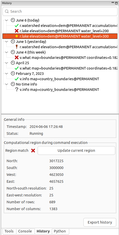
Exciting update coming to GRASS GIS:
The History browser pane in the user interface! 🚀
It was developed by
@lindakladivova during a #GRASSGIS Student grant project, with the mentoring of
@anickapetrasova & Martin Landa. Congratulations! 🍻🙌
https://grass.osgeo.org/news/2024_06_06_result_student_grant_linda_karlovska/
GRASS GIS #GSoC2024 students are already on full steam!! 🚀🤩
https://grass.osgeo.org/news/2024_05_27_gsoc_2024_students/
Welcome and happy coding!! 🙌
Have you signed up to the #GRASSGIS #community meeting ?? It is just around the corner!! 🤓🥳
📅We'll meet in Prague, June 13-19, 2024! And we'll be delighted to see you there!
👀Check our agenda: https://grasswiki.osgeo.org/wiki/GRASS_Community_Meeting_Prague_2024#Agenda
and join us in person or online!! 🙌
If you cannot attend but still want to contribute, we have created an
@opencollective bucket to collect donations! All contributions are welcome!
https://opencollective.com/grass/contribute
Special thanks to
#NSF, @osgeo and
@FOSSGISeV for their support! 🫶
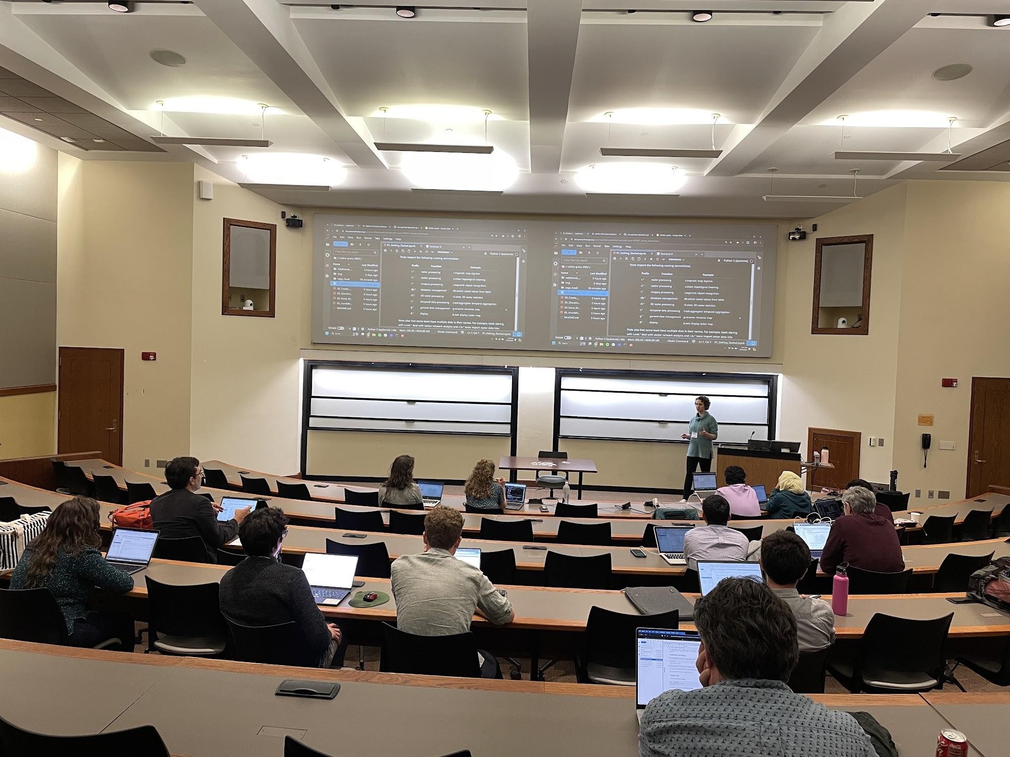
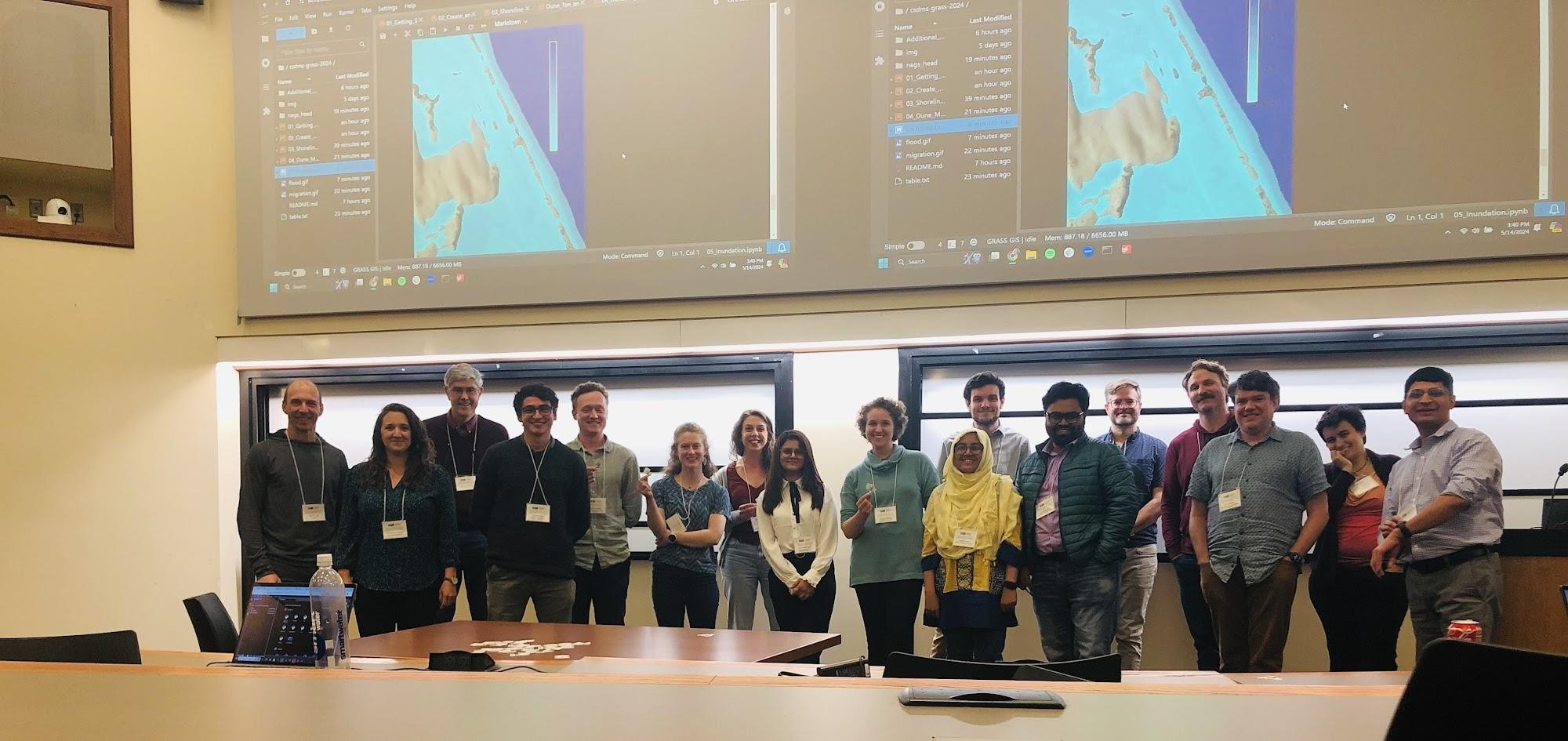
Pictures from yesterday's #GRASSGIS clinic on coastal evolution and inundation modeling at the @CSDMS annual meeting in New Jersey, led by @caitlinhaedrich and @pratiregmi78 🫶🤩
All material is open & freely available! 🚀
https://github.com/ncsu-geoforall-lab/csdms-grass-2024
Have fun!